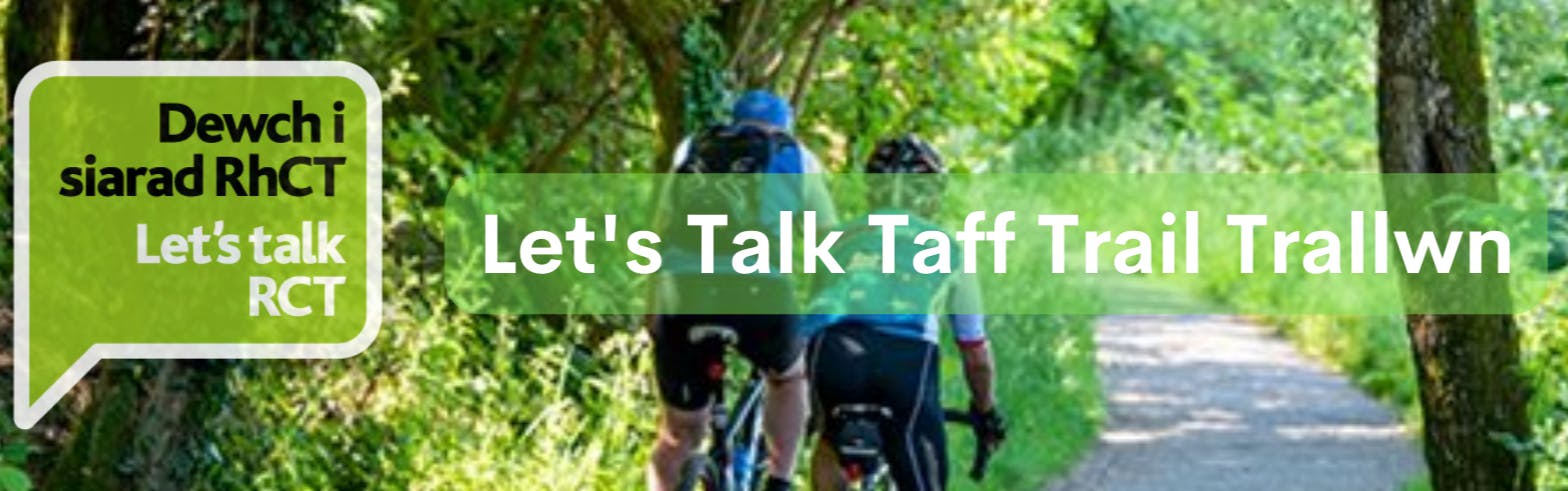
Let's Talk Taff Trail Trallwn

This consultation has now ended. The results of this project are now being analysed, and we will add links to reports and further information when they are available.
Improvements to the Taff Trail through Trallwn
Have your say
We would like to hear your views on the potential options designed to improve the section of the Taff Trail through Trallwn.
We recommend you view the plans via the links below and read this page to find out more about the scheme.
Here is the link to the consultation survey.
Background to the scheme
The Taff Trail is a long-distance walking and cycling route which runs between Brecon and Cardiff Bay. Much of the route passes through open countryside providing a very well-used leisure facility. The sections which pass through urban areas, such as Merthyr Tydfil, Pontypridd and Cardiff, have the potential to facilitate active travel journeys to places of work, education, retail outlets and health services. Active travel journeys can help reduce reliance on the private car for short journeys, which in turn can alleviate traffic congestion and its associated problems.
Why have changes been proposed?
The need for improvements to this section of the Taff Trail was first recognised during Rhondda Cynon Taf County Borough Council’s Active Travel Integrated Network Map (INM) submission to the Welsh Government in 2018. The existing alignment of the Taff Trail through Trallwn currently follows different northbound and southbound routes due to many of the local roads being one-way in operation. Although signage guides users of the Taff Trail through the network of streets, this use of different roads is confusing and indirect.
This section of the Taff Trail is an important link in the wider Active Travel network surrounding Pontypridd as it will provide more direct and improved access to the leisure and tourist facilities at Ynysangharad Park, and the services and facilities within Pontypridd town centre.
On behalf of Rhondda Cynon Taf County Borough Council, WSP (REI) is undertaking a study that will consider options for improving the route of the Taff Trail through Trallwn.
The Proposals
Projects such as this one are usually progressed over several years from concept through to detailed design and are then dependent on the approval of funding from bodies such as Welsh Government for the construction phase. We are currently at an early stage of the design process. The preferred options will be selected based on several aspects, including public consultation results, option deliverability (where land ownership will play a key part), cost implications, and option performance against national, regional and local objectives, ambitions and priorities.
As the preferred route is to be for active travel, the development of the options has been based on the Welsh Government’s Active Travel Act Guidance that was published in July 2021. This includes the application of walking and cycling audit tools as well as standards that active travel routes should adhere to.
Option sifting
At the start of this project and in line with the Welsh Transport Appraisal process the project team developed a wide list of possible solutions, sufficient to be able to decide whether there are any scheme options worth pursuing and to select a short list of options for more detailed consideration. Options were shortlisted based on:
- their ability to prevent, or solve the problem now and in the future;
- their ability to meet the objectives set and improve the social, cultural, environmental and economic well-being of Wales;
- their short- and longer-term impacts to deliver multiple benefits across the four aspects of well-being and maximise contribution to all seven well-being goals;
- their deliverability; and
- their robustness to uncertainty and potential to drive long lasting change.
Two options have been determined to be most feasible in terms of their potential to meet the required active travel standards. The two route options are presented below also with a brief description of potential improvements.
Option 1 - Proposed Realignment via A470 Footbridge at Foundry Road
 Link to detailed drawing - Option 1
This option proposes to widen the existing footway along sections of Coedpenmaen Road and Bridge Street, where feasible, to accommodate pedestrians and cyclists. It is proposed that the A470 footbridge is upgraded or replaced to conform with Active Travel Act Guidance (2021). Lighting is proposed for the alley to the rear of the school before the route continues along Coedpenmaen Close. The Coedpenmaen Road approach to the A470 roundabout will be widened to accommodate shared-use and the signal-controlled crossings on the A470 slip roads would be upgraded to facilitate shared-use. This option also includes a variation to implement a lit shared-use path between the north and south sides of the A470 roundabout island. Dropped kerbs and tactile paving will be provided at all junctions along the proposed route alignment. New Taff Trail directional signage will be installed on existing post/poles where feasible to avoid street clutter.
Option 2 - Proposed Realignment via A470 Underpass at Doddington Place
Link to detailed drawing - Option 2
This option proposes to widen the existing footway along Coedpenmaen Road and Bridge Street, where feasible, to accommodate pedestrians and cyclists. It is proposed that the route then travels east at the Coedpenmaen Road/Doddington Place junction, passing underneath the A470, using Scarborough Road and Llanover Road, with options to continue in front of Coedpenmaen Primary School to meet Common Road, or use the alley to the rear of the school, linking to Coedpenmaen Close. As with Option 1, the Coedpenmaen Road approach to the A470 roundabout will be widened to accommodate shared-use and the signal-controlled crossings on the A470 slip roads would be upgraded to allow shared-use. This option also includes variation to implement a lit shared-use path between the north and south sides of the A470 roundabout island. Dropped kerbs and tactile paving will be provided at all junctions along the proposed route alignment. New Taff Trail directional signage will be installed on existing post/poles where feasible to avoid street clutter.
Who are we and how can we help?
-

Phone 07385386839 Email StrategicProjects@rctcbc.gov.uk